KINWINCHAMG L O B A L
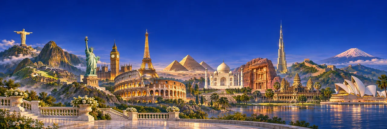
Composição artística de monumentos das Américas, Europa, África, Ásia e Oceania, reunidos sob um céu azul royal e iluminação dourada.
KINWINCHAM GLOBAL

Em qualquer parte do mundo a sua melhor opção

KINWINCHAM CHANNEL

Central Java
Closer.

Every place has a story.
Find your connection with Kinwincham.

Choose my place

Official opening ·

100%
EXPLORING THE PLANET
1 finger: rotate · 2 fingers: zoom
23°33′ S 46°38′ OA WORLD OF CONNECTIONS
DISCOVER YOUR PLACE ↓

THE KINWINCHAM REACH

countries · reported international presence
100+
territorial pages · reported digital structure
250.000
potential participations · projection
450 million

Institutional figures reported by Kinwincham. The projection assumes 250,000 locations × a hypothetical average of 1,800 participants per location. It does not represent registered users, members or customers, or measured audience.

Our map in numbers.

Countries, regions and locations available to explore in Global.

countries and territories
250
states and regions
4.240
cities and locations
263.377
locations in Brazil
5.571

AMIGO NOTA 10 — R$ 10.00 PER MONTH

A gesture that opens doors.

Your gateway to Kinwincham membership benefits. Explore the programme and its current benefits.

YOUR STARTING POINT

Where shall we connect?

01 / THE JOURNEY BEGINS HERE

Choose your continent

The first step toward finding your place in the world.

Preparing your world…

Blue dots represent confirmed presences. The selected city appears in blue as a location preview.

A local connection.
Em qualquer parte do mundo a sua melhor opção

↑

OUR MAP

A directory under construction.

The available countries, states and cities form Global's geographic database. Being listed does not mean Kinwincham already operates there.

Gold: countries available to explore.

Green: states, provinces and regions in the directory.

Blue: confirmed presence; a halo indicates the city you are exploring.

Brazil: IBGE's list of localities, with 5,571 entries — 5,569 municipalities, Brasília and Fernando de Noronha. Other countries: the open Countries States Cities Database; city coverage varies by country.

Coverage includes all countries and territories available in the global database, with cities supplemented by GeoNames. Some territories have no permanent cities or subdivisions of their own. Channel broadcasting in each market depends on content rights and applicable local rules.

Directory cards show flags and location maps. Local pages may include identified photos from Wikimedia Commons, with credits, and a composition featuring Channel concept art. Earth uses textures from the Blue Marble project. The dots and clouds are a visual representation; they are not live data.